Planning and cadastre
National Land Commission Secretariat
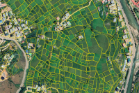
Cadastral Boundary Category: Open
Cadastral plot shapes data of the cadastre. Containing plot boundary shapefile data.
Keywords: [#Plot Boundary#cadastral#id#area]
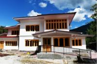
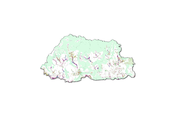
National Land Commission Secretariat
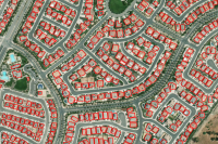
NCRP Building Footprints Category: Open
The NCRP data consists of cadastral plots comprising boundary points, boundary lines, and parcel identifier numbers (PIN). The data also consists of existing surrounding utilities and natural features such as roads, footpaths, streams, rivers, drains, irrigation channels, power lines etc and structures (building footprints). The data is merged and operates under one Geodatabase for all 20 dzongkhags. There are a total of 8 datasets including a dataset for the state land layer.
Keywords: [#ncrp#building footprint]
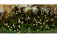
Department of Energy
Power System Master Plan 2040 Category: Restricted
This data provides the location of the 155 planned hydropower projects under Power System Master Plan 2040. It contains the planned dam, reservoir, waterway and powerhouse.
Keywords: [#PSMP 2040#Planned hydropower projects]
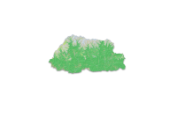
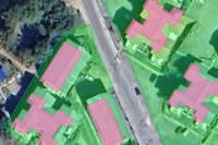
National Land Commission Secretariat
Land Use Land Cover 2020 Category: Open
The Land Use Land Cover (LULC) 2020 map of Bhutan highlights major land cover types, with forests dominating at 69% (a slight decrease from 2016). Other significant categories include Snow and Glacier (4.83%), Shrubs (4.11%), and Alpine Scrubs (8.89%, up from 3.39% in 2016). Minor covers include agriculture (2.96%), water bodies (0.61%), and built-up areas (0.25%). The map has an overall accuracy of 87% (kappa 0.853).The Sentinel-2 imagery, acquired from ESA's Copernicus Open Access Hub, underwent several pre-processing steps. The image classification was carried out using random forest technique using the e-cognition software.
Keywords: [#lulc#agriculture#built up#forest#grassland#barren land#glacier#snow#water#landslide#vegetation#meadow]
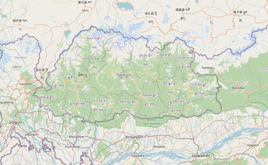
National Housing Development Corporation Limited
NHDCL Structures Category: Open
All the structures (buildings) located across the country which is currently managed and owned by NHDCL.
Keywords: [#NHDCL#Building#structure#Building Information#Building Ownership]
National Soil Services Centre
LULC 2010 Category: Common
This dataset is the Land Cover Map of Bhutan (2010). It represents the occurrence and distribution of different types of Land Use and Land Cover in Bhutan. The LULC classes listed here shows Forest cover of 70.46% (Excluding shrubs) with Broadleaf (62.43%), Mixed Coniferous (22.69%), Fir (6.77%), Blue Pine (2.96%), Chir Pine (3.98%) and 1.16% of Broadleaf with conifer. Likewise, Shrubs cover 10.81%, agriculture land and meadows cover 2.93% and 4.10% respectively. The snow cover constitutes 7.44%, bare areas with 3.20%. Marshy areas, non-built areas, built up areas, water bodies and degraded areas with less than 1% each.The average overall map accuracy at the national level is 97.91% with 95.67% minimum and 100.15% maximum at 95% Confidence Level.
Keywords: [#Planning]
National Land Commission Secretariat
National Land Use Macro Zones_Baseline2023 Category: Open
This dataset presents the consolidated macro-zone layers derived from the NLUZ Baseline 2023. It integrates sectoral datasets from multiple agencies and includes eight major land use macro zones: Agricultural Land, Rural Settlement, Sustainable Forest Management Area, Nature Conservation Area, Industrial, Cultural Heritage, Urban, and Rangeland. It also incorporates key right-of-way buffers such as highway buffers, transmission line buffers, and flight funnel buffers. The dataset represents a generalized macro-level spatial output of the NLUZ Baseline 2023 consolidation exercise.